Geological Provinces
can be divided as follows :
The Central Plain extends the coast around Bangkok, consists the areas of marshy, floodplains.
The North lying between the Mekong and Salween Rivers, mainly mountainous, the highest peak at Doi Inthanon is 2565 M above sea level.
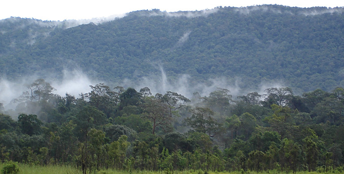
The Northeast consists of dry plateau (Korat Plateau) mostly consisting of dry soil but there are some good forest such as at Khao Yai National Park.
The East and Southeast has the isolated mountains of Khao Soi Dao at the westward part of the country near the Cambodia border.
The West and Southwest has a largest forested area and is divided from the Burmese border by the Tanassarim range.
The South lying between Andaman sea and the Gult of Thailand. Peninsular Thailand is the southern part, which is a part of Sunda faunal sub-region.